
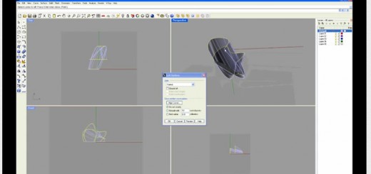
Geomaps and CNC Fabrication Tutorial
 Geomaps Mapping Service is Auckland’s Geographic Information System (GIS).
It is useful for obtaining Satellite Imagery and DWG / Vector files to use for modelling,
in this example Rhinoceros. Geometry for contours, building footprints and roads can
be used for digital site models.
This tutorial will detail the process of extracting the information, importing it to
Rhinoceros and using the information to fabricate a physical model (CNC / 3d Printing
/ Laser Cutting)
 Loading...


You must be logged in to post a comment.